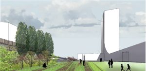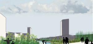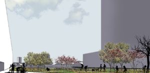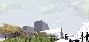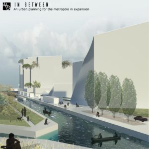
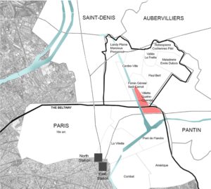
The master plan reclaims and develops the north-east of Paris. The site is an urban interstice set over between the city and the suburb. The arrangement is part of an approach to rehabilitate industrial obsolete grounds. The location is marked by the mobility infrastructures, surrounded by the beltway and the railway in the South, and the canal on the West side.
The thirty five acre intervention zone include warehouses; the public transport facilities (RATP) and the premises of the L.T. Pivert soap factories from the 18th century. Limited for a long time to receive industrial and logistical activities, the project is an opportunity to renew the neighborhood.
The reconversion of this brownfield introduces the theme of a large scale. The scale of the site is comparable to twice that of the Saint-Denis Island, and the scale of the territory where the megalopolis boundaries are vague. This project is delivered using the existing build layer.
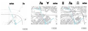

We trace the access road to the dock based on the previous residential division from 1900. We use the abandoned railway to transport users and goods throughout the project.
The natural sequences link the project to the whole territory. The existing vegetation is extended through the different areas, which support in the topic of the agriculture in the city. That way, we reinterpret the history of La Villette and its factories.

The urban and landscape project is a multifunctional operation binding residential complex, activities, equipment, shops, school and offices, creating a sort-after section to ensure the permanence of this piece of town. A an open-plan arrangement of gradually ranging buildings heights is created from Paris to Aubervilliers throughout the canal. The progressive setup from south to north takes advantage of natural lighting and optimizes the shadows of the constructions.


